The Winter Storm
The southeastern United States is bracing for an extensive winter storm that is set to unfold over a staggering 1,400-mile stretch. This severe weather phenomenon will predominantly impact states such as Texas, Louisiana, Mississippi, Alabama, Georgia, and parts of Florida. While winter weather is not uncommon in the South, the breadth and intensity of this impending snow and ice event represent a marked deviation from typical seasonal patterns.
Forecasters indicate that this storm is expected to bring a unique combination of heavy snowfall, ice accumulation, and below-normal temperatures. Given that these regions are generally less accustomed to wintry conditions, the potential for significant disruption cannot be overlooked. Road travel may become hazardous, as icy patches and snow-covered streets present dangers to motorists. Moreover, power outages could occur as ice accumulates on trees and power lines, leading to fallen branches and electrical failures.
This winter storm also signals a considerable change in the meteorological landscape of the South, potentially affecting millions of residents. Areas typically characterized by mild winters will experience a profound transformation, with forecasts suggesting temperatures plummeting drastically. With such extreme weather phenomena becoming more frequent, understanding the implications of this storm is critical for both citizens and emergency services alike.
As the winter storm approaches, it is advisable for residents to remain vigilant and stay informed through local weather updates. Preparations for potential impacts should be prioritized, with an emphasis on safety measures at home and on the road. The coming days will be crucial as this 1,400-mile snow and ice event unfolds, substantiating the need for preparedness and awareness amidst changing winter weather dynamics.
Forecasted Path and Areas Affected
The impending winter storm that extends over a remarkable 1,400-mile expanse is projected to impact several states across the southern region of the United States. Meteorological models indicate that the storm will initiate its journey from the southern California area, subsequently moving eastward and potentially affecting areas along the Gulf Coast. This path could lead to a combination of hazardous conditions, including snow, ice, and rain, across a variety of urban and rural landscapes.
Key cities that stand to be significantly impacted include Memphis, Tennessee; Little Rock, Arkansas; and Jackson, Mississippi. These locations may encounter substantial snowfall amounts, with ice accumulation potentially leading to treacherous travel conditions and utility disruptions. Furthermore, cities like Birmingham, Alabama, and Atlanta, Georgia, are also under advisories for ice storms as the cold front sweeps through the region, bringing with it frigid temperatures and a high likelihood of wintry precipitation.
As the storm progresses, residents of Louisiana and portions of Texas may also experience intense rainfall, coupled with rapidly dropping temperatures. This combination could pose serious flooding concerns in low-lying areas while simultaneously creating conditions for ice formation on roads and bridges. For those in Arkansas and Tennessee, forecasts suggest the possibility of an icy mix, which raises significant safety concerns for drivers and the general public.
This weather event not only poses immediate risks but also has the potential to disrupt transportation infrastructures and delay essential services across the affected states. Each region’s preparedness in addressing this storm will be vital in minimizing its impact on day-to-day life. Monitoring the developments through official meteorological channels will be essential for staying informed and safe.
Current Weather Conditions
The current weather conditions across the United States are indicative of a significant shift in the atmosphere, particularly affecting the eastern two-thirds of the country. As of now, air masses dominated by colder temperatures are sweeping through this region, resulting in dropping mercury levels. Many cities are reporting temperatures well below average for this time of year, a precursor to the impending winter storm.
In the Southeast, remnants of a milder weather pattern have gradually given way to cold air invadions, significantly altering daily highs and lows. For instance, areas that were experiencing temperatures in the 60s are now facing chilling conditions, dipping into the 30s and 40s. This notable drop in temperature is a consequence of the high-pressure system pushing down colder, denser air from the north. Residents are advised to prepare for rapidly changing conditions as the storm system approaches.
Furthermore, meteorologists have observed the presence of moisture-laden clouds beginning to form as humidity levels rise in conjunction with the cold air. This interaction signifies that the likelihood of snow and ice accumulations is increasing. Although these conditions have already resulted in some minor accumulations in parts of the Midwest and Northeast, the forecast suggests that the most significant impacts will be felt in the coming days as the winter storm travels further south.
The combination of frigid temperatures, moisture, and prevailing winds sets the stage for a widespread snow and ice event. These current weather conditions are a crucial factor in determining how severe the impending storm will be, primarily affecting states along the storm’s projected path. As the days progress, monitoring these atmospheric changes will be essential in preparing for what appears to be an intense weather event.
Predicted Weather Patterns and Changes
The impending winter storm is poised to dramatically alter weather patterns across a significant swath of the southern United States. Meteorological models indicate that this event will span approximately 1,400 miles, resulting in varying types of precipitation that can be anticipated over the coming days. The storm is forecasted to develop as a warm front advances northward, bringing milder temperatures initially, which will later collide with a stronger cold front moving south. This clash is expected to trigger a shift in temperature and precipitation types across the affected region.
As the storm system progresses, the initial phase will likely see rain, particularly in southern areas where temperatures remain above freezing. However, as the cold front continues to descend, it is expected that significant temperature drops will follow, transitioning the precipitation from rain to snow, sleet, and freezing rain. The intensity of these precipitation types may vary, with heavy snow accumulations predicted in higher elevations and northern latitudes, while freezing rain and sleet could present hazardous conditions in lower regions.
The National Weather Service has issued warnings within affected areas, advising residents to prepare for possible ice accumulation. These weather changes will be exacerbated by strong winds that may accompany the storm, further influencing the severity of the weather conditions. As the event develops, meteorologists will continue monitoring temperature changes, precipitation levels, and wind patterns, providing timely updates to ensure public safety. Undeniably, understanding these predicted weather patterns is crucial for communities in preparing for what is shaping up to be a significant winter storm event.
Potential Impacts and Disruptions
The impending winter storm, stretching across 1,400 miles in the southern region, is anticipated to have significant impacts on daily life and infrastructure. One primary consequence of such severe weather is travel disruptions. As snow and ice accumulate on roadways, driving conditions will deteriorate, leading to hazardous travel. Authorities may issue travel advisories urging individuals to stay off the roads, particularly in the most affected areas. Furthermore, disruptions in public transportation systems are likely to occur, resulting in delays or cancellations of bus and train services, further complicating commutes during this period.
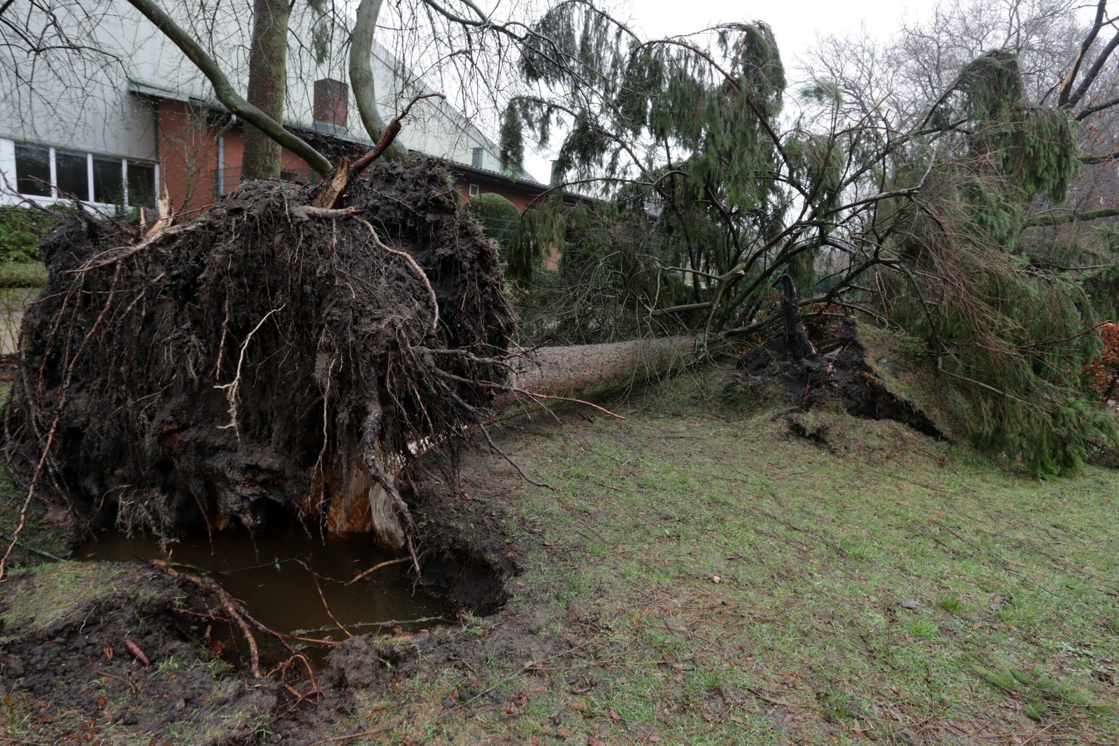
In addition to travel concerns, power outages are another serious risk associated with this winter storm. Ice accumulation on power lines can result in significant damage, leading to widespread outages in affected communities. Utility companies may need considerable time to restore power, and residents may find themselves without electricity during frigid temperatures. The potential for downed power lines increases the urgency for emergency preparedness, as local governments and organizations may need to mobilize resources to assist vulnerable populations, including the elderly and those with medical needs.
Emergency preparedness is crucial in mitigating the negative effects of the storm. Families and individuals are advised to stock up on essential supplies, including food, water, batteries, and necessary medications. Additionally, creating an emergency plan that includes a communication strategy will help ensure that everyone remains informed and connected. Schools, businesses, and government agencies should also prepare for potential closures or shifts to remote operations to ensure the safety of their staff and clients. Overall, the widespread impacts of this winter storm could pose significant challenges for communities, urging individuals to take proactive steps to safeguard themselves and their loved ones.
Safety Measures and Emergency Preparedness
The impending winter storm presents a significant challenge for residents in the affected areas. It is essential for individuals and families to prioritize safety and preparedness during such extreme weather events to minimize risks and ensure well-being. One vital safety recommendation includes assessing the immediate environment for potential hazards, particularly regarding snow accumulation and icy conditions. Staying informed about weather updates and local advisories will facilitate informed decision-making during the storm’s progression.
Creating a comprehensive emergency kit is a pragmatic step in preparation for winter storms. Essential supplies should include non-perishable food items, sufficient water, batteries, flashlights, and a first aid kit. Additional items such as blankets, medications, and a multi-purpose tool can enhance the utility of the kit. It is advisable to ensure that the kit is easily accessible and adequately stocked prior to the onset of the storm.
Travel during a winter storm increases risks significantly; therefore, it is important to have a travel preparedness plan in place. If travel is necessary, individuals should inform family or friends of their itinerary and estimated arrival times. Additionally, it is wise to have a full tank of gas, as gas stations may be closed or inaccessible during severe weather events. Furthermore, keeping an emergency supply kit in vehicles, including items such as jumper cables, a spare tire, and warm clothing, can provide added security when on the road.
Lastly, maintaining open channels of communication with local authorities and monitoring reliable news sources for updates on the storm’s trajectory and severity is crucial. Emergency services or public safety organizations often provide timely alerts that enhance situational awareness, empowering individuals to make safe choices and take necessary precautions. By adhering to these safety measures and remaining prepared, individuals and families can better navigate the challenges posed by the impending winter storm.
Historical Context of Winter Storms in the South
The southern United States has a history of being impacted by severe winter storms, despite the region’s generally mild climate. Such weather events have occasionally led to significant disruptions, drawing comparisons to the impending snow and ice event covering 1,400 miles. One notable instance occurred in February 2014, when a winter storm, often referred to as “Snowmageddon,” struck the South. This event showcased the vulnerability of southern states to unexpected winter weather, as snow and ice accumulation paralyzed major cities including Atlanta, affecting transportation systems and stranding countless motorists. The unusual nature of this storm highlighted the need for better preparedness in the face of severe winter patterns that can emerge unexpectedly.
Another remarkable historical instance is the storm that hit the region in 1978, which left several southern states blanketed in snow. This storm was characterized by heavy snowfall and sustained cold temperatures, a combination that caused considerable hardship for residents and emergency services. It also revealed a critical gap in the infrastructure designed to handle adverse winter weather. Such historical precedents provide a relevant backdrop as forecasters predict a recurrence of similar weather patterns.
Comparing the impending storm to these historical events emphasizes the importance of recognizing potential risks and preparing accordingly. The lessons learned from past winter storms have prompted changes in how state and local governments manage winter weather incidents, resulting in improved communication and response strategies. In light of these historical occurrences, the current forecast for a vast snow and ice event not only serves as a reminder of the south’s susceptibility but also calls for heightened awareness and readiness to tackle the challenges winter storms present.
Importance of Monitoring Updates
As winter storms can significantly impact daily life, it is crucial for individuals and communities to stay informed about evolving weather conditions. Monitoring updates during an impending snow and ice event, such as the ongoing 1,400-mile winter storm in the South, allows individuals to prepare adequately and respond promptly to potential hazards. Access to reliable sources for weather information ensures that the public receives accurate forecasts and alerts about changing conditions.
Local news outlets and meteorological services are essential resources for real-time updates. They often provide detailed information on the storm’s progression, potential snowfall, and expected ice accumulation in specific regions. By keeping track of these updates, residents can make informed decisions about travel plans, outdoor activities, and necessary preparations for their homes. The proactive approach of following trusted sources may lead to higher levels of preparedness, ultimately reducing the risk of accidents and property damage.
Moreover, many meteorological agencies have developed apps and websites that allow users to customize alerts based on their locations. These personalized updates can be invaluable, especially as snow and ice events can produce rapidly changing weather patterns. As the storm unfolds, individuals should be vigilant about monitoring changes in forecasts and be prepared to adjust their plans accordingly. Effective communication of risks associated with extreme weather events is necessary to ensure the safety and well-being of communities.
Staying updated also includes understanding the timing and duration of the storm. By being well-informed, individuals and families can stock up on essentials, secure their properties, and, if necessary, limit their travel to avoid dangerous conditions on the roads. An organized approach to following updates aids in ensuring that one is prepared for all eventualities as the winter storm progresses. Ultimately, the importance of monitoring updates cannot be overstated, especially during significant weather events that pose risks to life and property.
Conclusion and Final Thoughts
As the impending winter storm looms over a vast region of the South, it becomes increasingly vital to acknowledge the potential impact and seriousness of this extensive weather event. Spanning approximately 1,400 miles, the forecasted accumulation of snow and ice poses significant risks to both individuals and infrastructure. Residents in the affected areas should now be actively preparing for the harsh conditions expected in the coming days.
This storm not only threatens travel disruptions but also raises concerns about power outages, road safety, and emergency services’ ability to respond effectively. The conditions are likely to be further complicated by fluctuating temperatures, which can affect the type and accumulation of precipitation. Staying informed through reliable weather updates and local authorities will be crucial for navigating the challenges ahead. As the storm approaches, proper safety precautions must be implemented to mitigate risks.
In light of the critical nature of this winter storm, it is essential for individuals to have a contingency plan in place. Stocking up on necessary supplies such as food, water, and medications can help ensure that families are prepared to weather the storm without undue hardship. Additionally, securing any outdoor items that could become hazardous in severe winds or accumulating snow is advisable. Remember that safety should always take precedence, and if conditions become unsafe, seeking shelter or remaining indoors until the weather improves is wise.
Ultimately, while the upcoming snow and ice event may bring about picturesque winter scenes, it is essential to approach this situation with seriousness and preparedness. The severity of winter storms requires a collective effort to prioritize safety and ensure communities can effectively respond to and recover from the impending challenges. Every household should adopt a proactive strategy in these circumstances to guarantee that they are ready to face the impending winter conditions.